Drone LiDAR & Photogrammetry

Advanced Mapping. Clear Site Data.

services

Drone LiDAR and photogrammetry provide detailed aerial data that helps project teams understand existing site conditions, measure progress, and support planning, design, and construction decisions. These tools allow survey teams to capture accurate information across large or complex project areas more efficiently than many traditional methods alone.

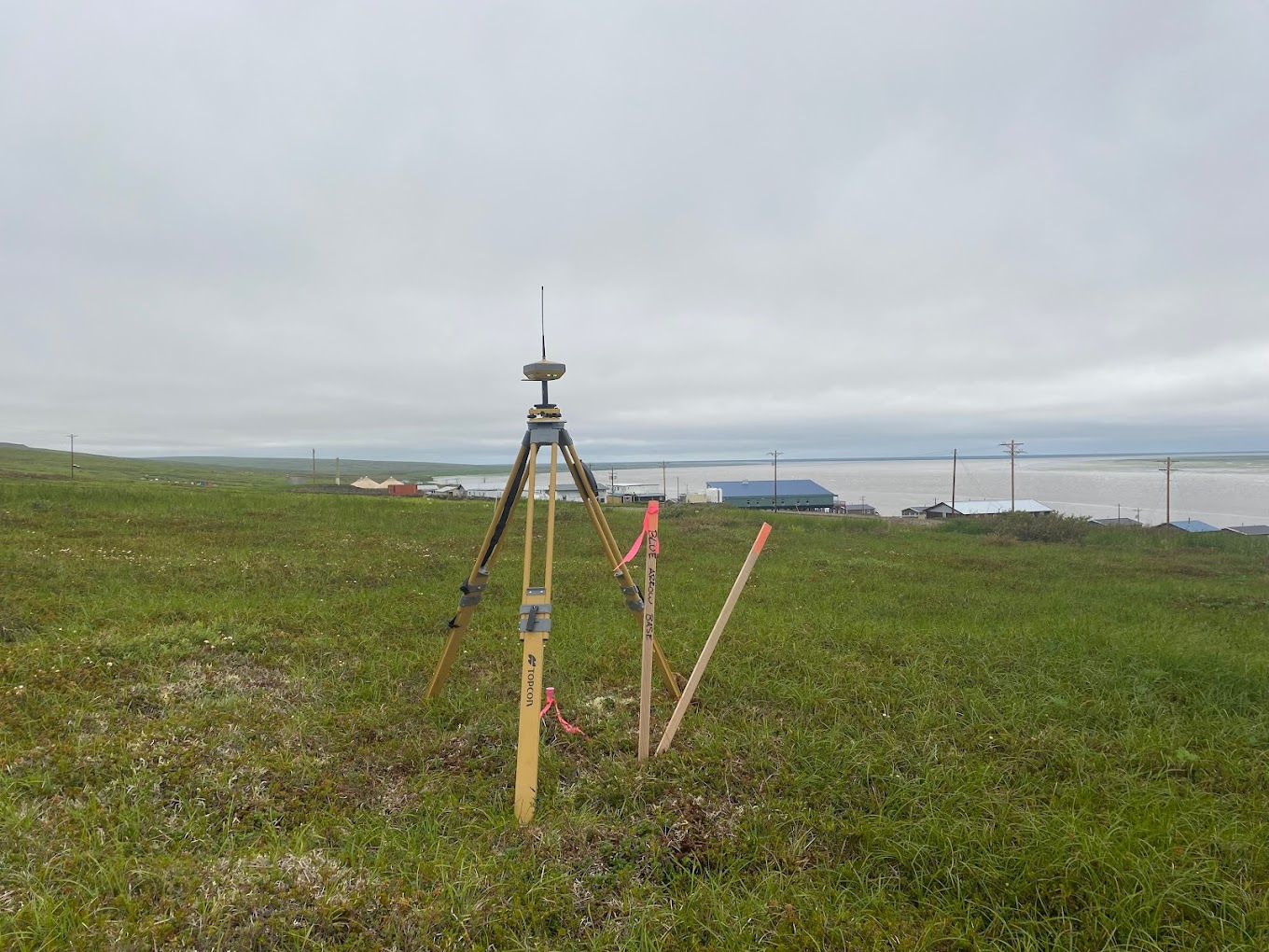
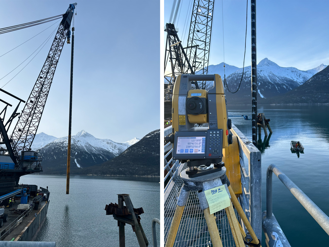
At Blue Arrow Surveys, we use advanced drone mapping technology to collect reliable field data and turn it into clear deliverables your team can use. Our focus is accuracy, communication, and practical results that support better decision-making from the field to the office.

How It Supports Project Decisions

Why Choose Us

Drone LiDAR and photogrammetry help project teams capture detailed site information quickly and accurately. When paired with strong survey control and field verification, aerial data can support planning, design, quantities, monitoring, and documentation across multiple project phases.

We don’t just collect imagery. We create usable survey data that helps teams understand conditions, track changes, and move work forward. Our approach helps:

We collect high-resolution aerial data that helps document site conditions, features, elevations, and project progress.

Capture More Site Detail

Drone mapping allows large or difficult project areas to be captured efficiently while reducing time spent in the field.

Improve Mapping Efficiency

LiDAR and photogrammetry deliverables can support base mapping, surface models, planning, and engineering design needs.

Support Design and Planning

Aerial data helps document construction progress, verify quantities, and provide a clear record of changing site conditions.

Track Progress Clearly

What We Provide

Mapping Services Delivered

Every drone mapping project is handled with attention to detail and a focus on delivering accurate, dependable data.

Our Drone LiDAR and photogrammetry services include:

Drone Mapping Needs

Typical Project Needs

If your project requires detailed aerial data, site documentation, or efficient mapping support, we’re ready to help.

Drone LiDAR and photogrammetry services are typically required for:

Built for Alaska Projects

Remote Project Expertise

We specialize in large-scale and remote civil construction work. From urban job sites to remote locations, our team understands the logistics, coordination, and conditions that come with working across Alaska. We show up prepared, communicate clearly, and deliver work that holds up in the field.
Answers to common questions about drone LiDAR and photogrammetry, including how aerial mapping works, what deliverables can be provided, and when drone mapping is useful for a project.

FAQ

Frequently Asked Questions

Drone LiDAR uses laser scanning from an unmanned aircraft to collect detailed elevation and surface data. It is commonly used for mapping, modeling, design support, and documenting existing site conditions.
Photogrammetry uses overlapping aerial images to create maps, models, and measurements. It can be used to produce orthomosaic imagery, surface models, and visual documentation of a project area.
LiDAR collects elevation data using laser measurements, while photogrammetry creates data from aerial images. Both can be useful, and the right option depends on the project goals, site conditions, accuracy needs, and deliverables required.
Deliverables may include orthomosaic imagery, point clouds, surface models, contour data, topographic mapping, quantity calculations, and project progress documentation.
Not always. Drone mapping is often used with traditional survey control and field verification. This helps improve accuracy and makes the data more useful for engineering, construction, and project documentation.
Drone mapping is useful during planning, design, active construction, and progress documentation. Scheduling depends on the project phase, required deliverables, and how current the site data needs to be.