Engineering Design Surveys

Accurate Field Data. Smarter Project Planning.

services

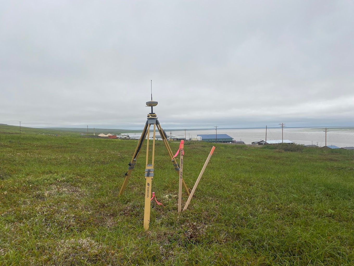
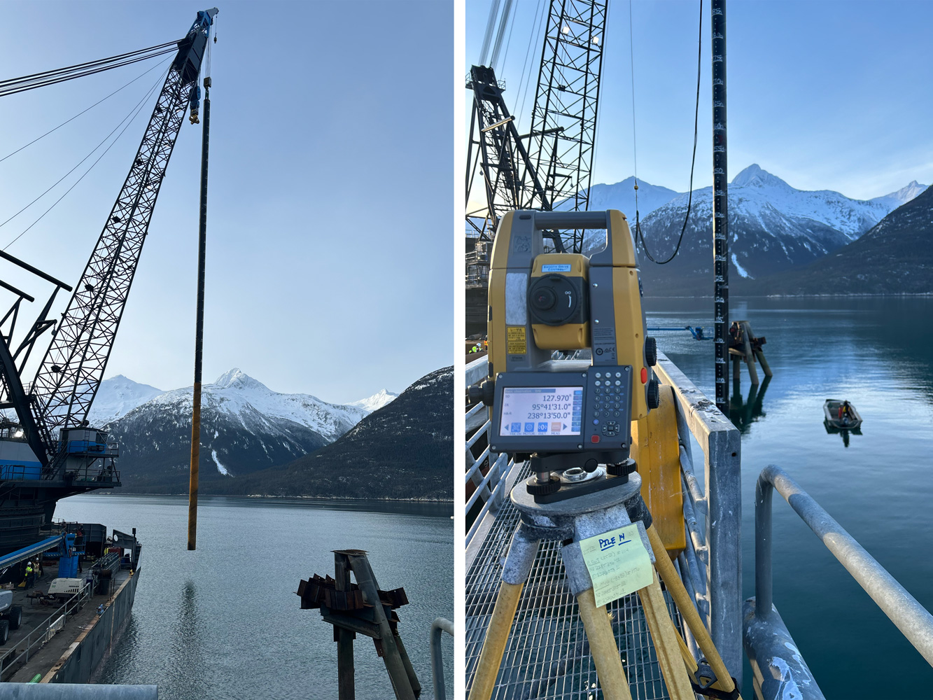
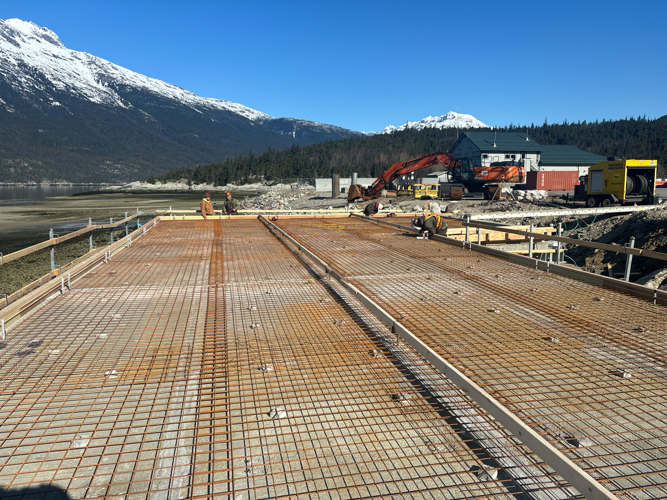
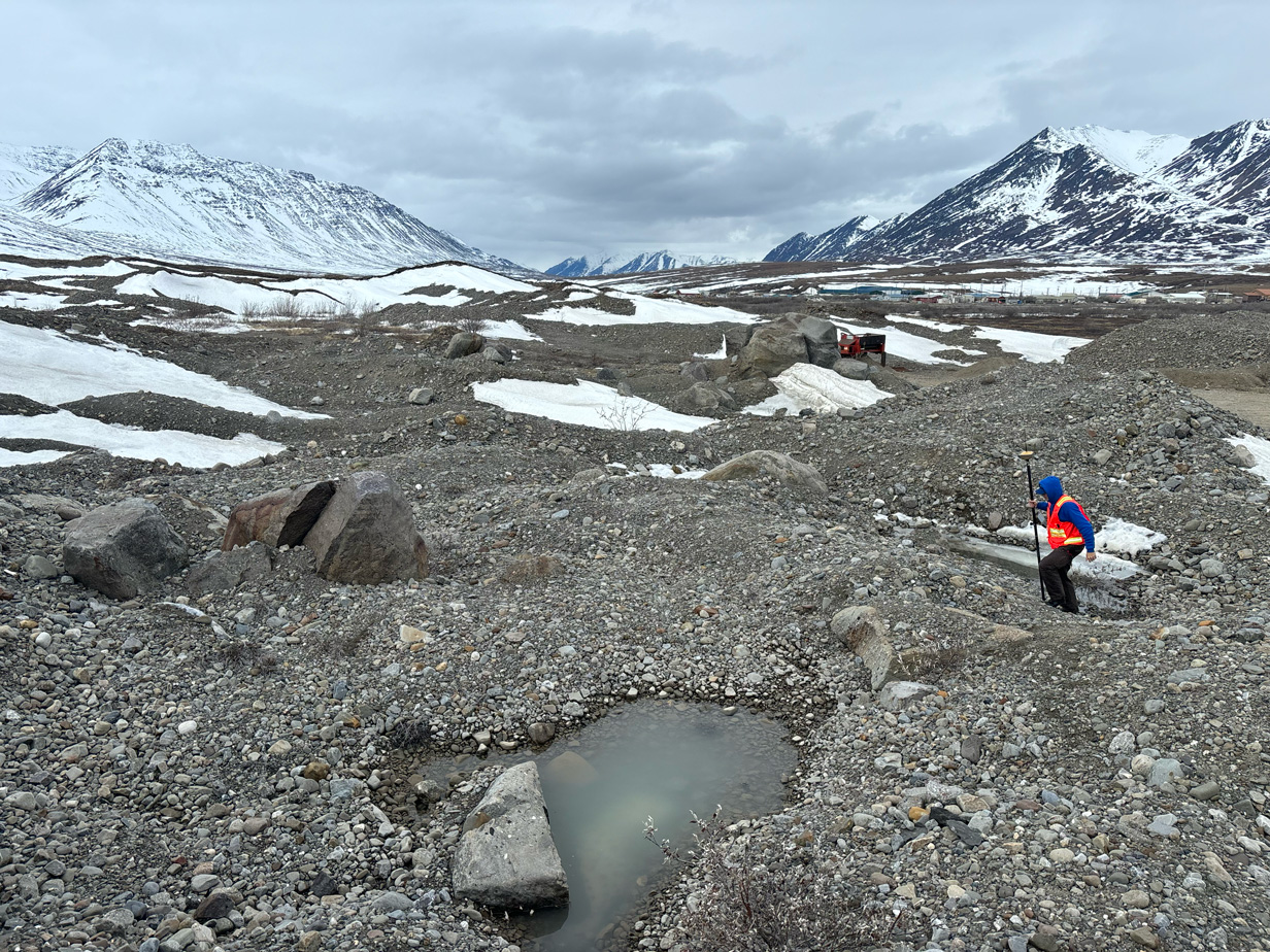
Engineering design surveys provide the field data needed to plan and design a project. Before engineers, architects, and project teams can make sound decisions, they need current information about site conditions, elevations, utilities, boundaries, and physical features.

At Blue Arrow Surveys, we collect detailed site data and deliver it in formats your design team can put straight to work.

How It Supports Better Design

Why Choose Us

Engineering design surveys connect early planning with real site conditions. When design teams work from incomplete or outdated information, the result is often changes, delays, and added cost during construction. Good field data up front prevents that.

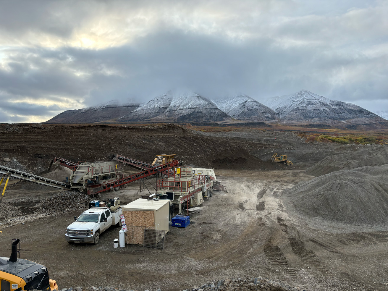
We document existing conditions so design teams know exactly what they’re working with before plans are drawn.

Support Smarter Planning

Site features, elevations, and utilities are mapped so potential problems surface during design instead of during construction.

Identify Constraints Early

Plans built on real field conditions carry less risk of conflicts and rework later.

Improve Design Accuracy

Clean deliverables help project teams move from planning into design and construction with fewer unknowns.

Keep Projects Moving

What We Provide

Field Data Delivered

Every project is handled with attention to detail and a focus on delivering accurate, usable information for planning and design.

Our engineering design survey services include:

When Surveys Help

Typical Project Phases

If your project requires accurate site information before design or construction, we’re ready to support it from the beginning.

Engineering design surveys are typically required for:

Built for Alaska Projects

Remote Project Expertise

We specialize in large-scale and remote civil construction work. From urban job sites to remote locations, our team understands the logistics and conditions that come with surveying in Alaska. We show up prepared and we finish what we start.
Answers to common questions about engineering design surveys, field data, and project support, including what information is collected, how deliverables are used, and when a design survey should be scheduled.

FAQ

Frequently Asked Questions

An engineering design survey collects accurate field data about existing site conditions. This information is used by engineers, architects, and project teams to support planning, design, permitting, and construction preparation.
A design survey is typically needed before engineering plans are created. It helps provide accurate information about elevations, utilities, boundaries, site features, and other details that may affect the design.
It may include topographic data, existing site features, utility information, control points, elevations, benchmarks, and other field details needed for design and planning.
Deliverables vary by project, but may include CAD files, base maps, surface data, point files, and other information needed by the project team.
Yes. Accurate survey data helps identify existing conditions early so design teams can address potential conflicts before construction begins.
Yes. We regularly support engineers, contractors, developers, and public agencies with survey data needed for planning, design, and construction support.