Boundary Surveys

Clear Boundaries.

services

A boundary survey locates the boundary lines of a parcel and marks them on the ground. Whether you are buying land, planning improvements, resolving a boundary question, or preparing for development, a boundary survey shows where the lines are located and how they relate to existing site features.

We perform boundary surveys for property owners, developers, contractors, attorneys, and project teams, and we deliver work that shows clearly where the boundaries fall.

How It Supports Boundary Clarity

Why Choose Us

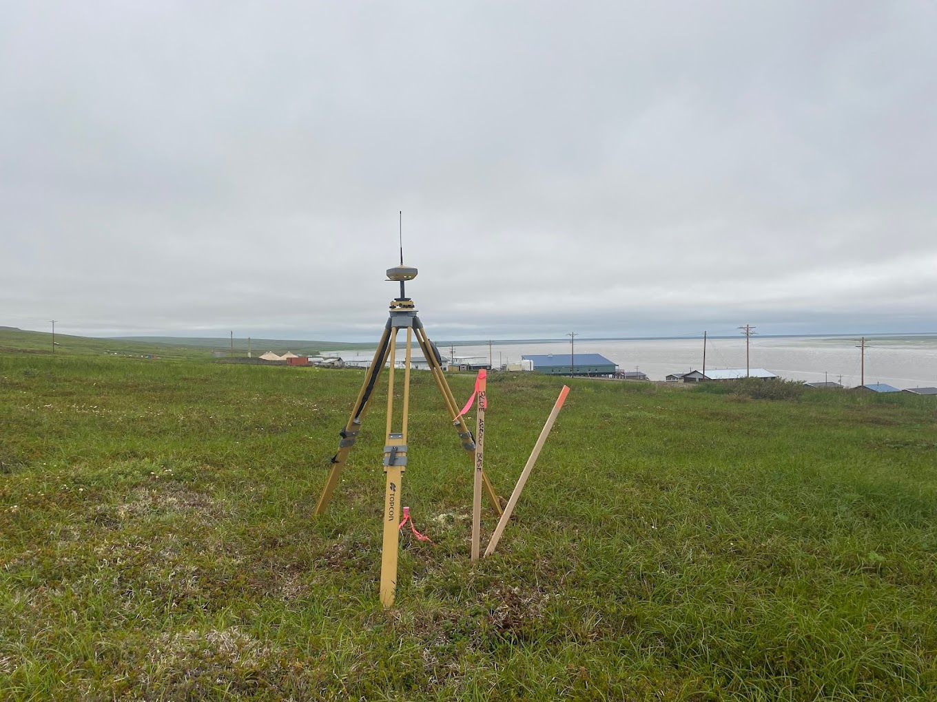
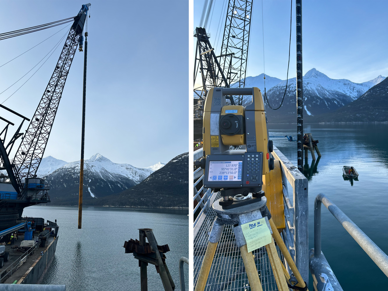
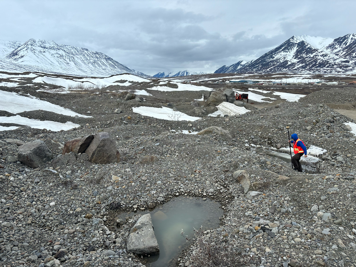
Boundary questions can create confusion, delays, and disputes when they go unanswered. A boundary survey establishes the location of boundary lines, corners, easements, and related site conditions.

We locate boundary lines and the survey evidence behind them so owners and project teams have a clear picture of the parcel.

Locate Boundary Lines

Existing corners can be found, verified, or re-established based on survey records, field evidence, and applicable standards.

Recover Boundary Corners

Boundary information guides fences, driveways, additions, and other improvements that need to stay inside the lines.

Support Property Improvements

Documented survey findings help answer questions about boundaries, encroachments, access, and neighboring improvements.

Reduce Boundary Disputes

What We Provide

Boundary Survey Services

Every boundary survey is handled with attention to detail and a focus on delivering accurate, dependable results.

Our boundary survey services include:

When Surveys Are Needed

Typical Project Needs

If your property line needs to be confirmed, documented, or used for planning, we’re ready to help.

Boundary surveys are typically required for:

Built for Alaska Projects

Remote Project Expertise

We specialize in large-scale and remote civil construction work. From urban job sites to remote locations, our team understands the logistics, coordination, and conditions that come with working across Alaska. We show up prepared, communicate clearly, and deliver work that holds up in the field.
Answers to common questions about boundary surveys, including when they are needed, what they show, and how they help clarify property lines, corners, easements, and improvements.

FAQ

Frequently Asked Questions

A boundary survey identifies the legal boundaries of a property. It may include locating property lines, recovering or setting corners, reviewing recorded documents, and preparing survey documentation.
You may need a boundary survey when buying or selling property, planning a fence, building an addition, developing land, resolving a property line question, or confirming access and easements.
Yes. A boundary survey can locate existing property corners or re-establish them when needed based on survey records, field evidence, and applicable standards.
Yes. A boundary survey provides professional survey information that can help clarify property line questions, encroachments, and related concerns.
No. A plot plan is often used for permitting or planning a specific improvement. A boundary survey focuses on identifying and documenting the legal property boundaries.
Timing depends on the property location, available records, site conditions, and survey complexity. It is best to request the survey early if the information is needed for a sale, permit, or project deadline.